
COAST / A STORY STILL AMONG THE WAVES
Zeila Shipwreck.
A dark hull, white foam and the constant sound of the sea. The Zeila tells the story of Namibia's coast without raising its voice.
Plan your tripWorth knowing.
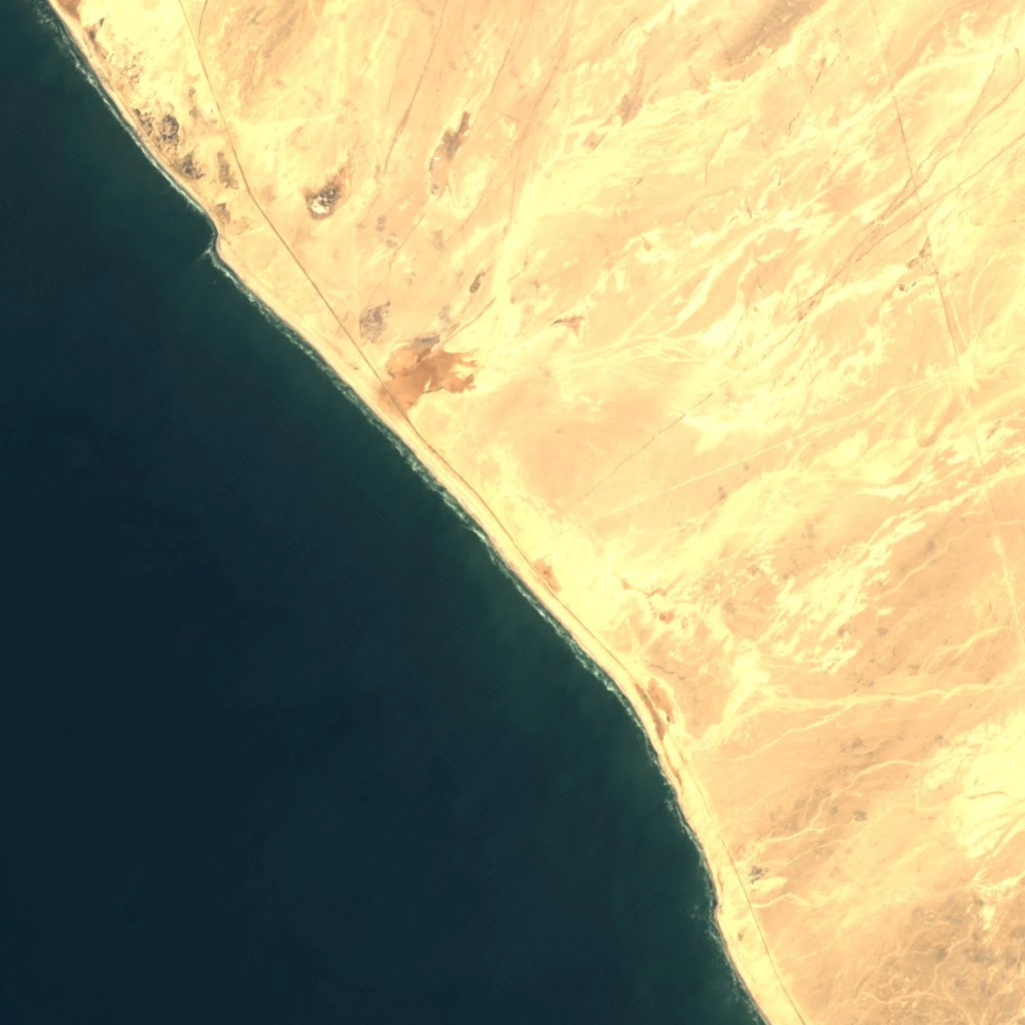
The Zeila is a fishing vessel that ran aground in August 2008, approximately 14 km south of Henties Bay. It is observed from the beach during the coastal route. It is a separate stop from Skeleton Coast National Park, whose southern entrance is further north.
How to experience it.
Include this stop on the route between Swakopmund, Henties Bay and the northwest. Stop at a permitted access point and view the wreck from land: waves, corrosion and sand continually reshape it. Look beyond the close-up to the wider coastal landscape.
In the field.
This is a recent wreck, not an ancient ship or a film set. The sea continues to reshape its story.
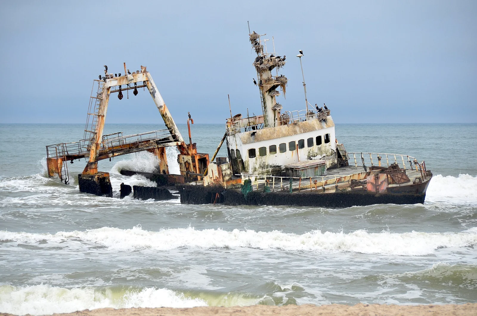
A final voyage cut short
The Zeila was being towed to India for scrapping when it broke free and ran aground. Sources agree on August 2008 but give different dates, so we use the month rather than an unverified day.
Source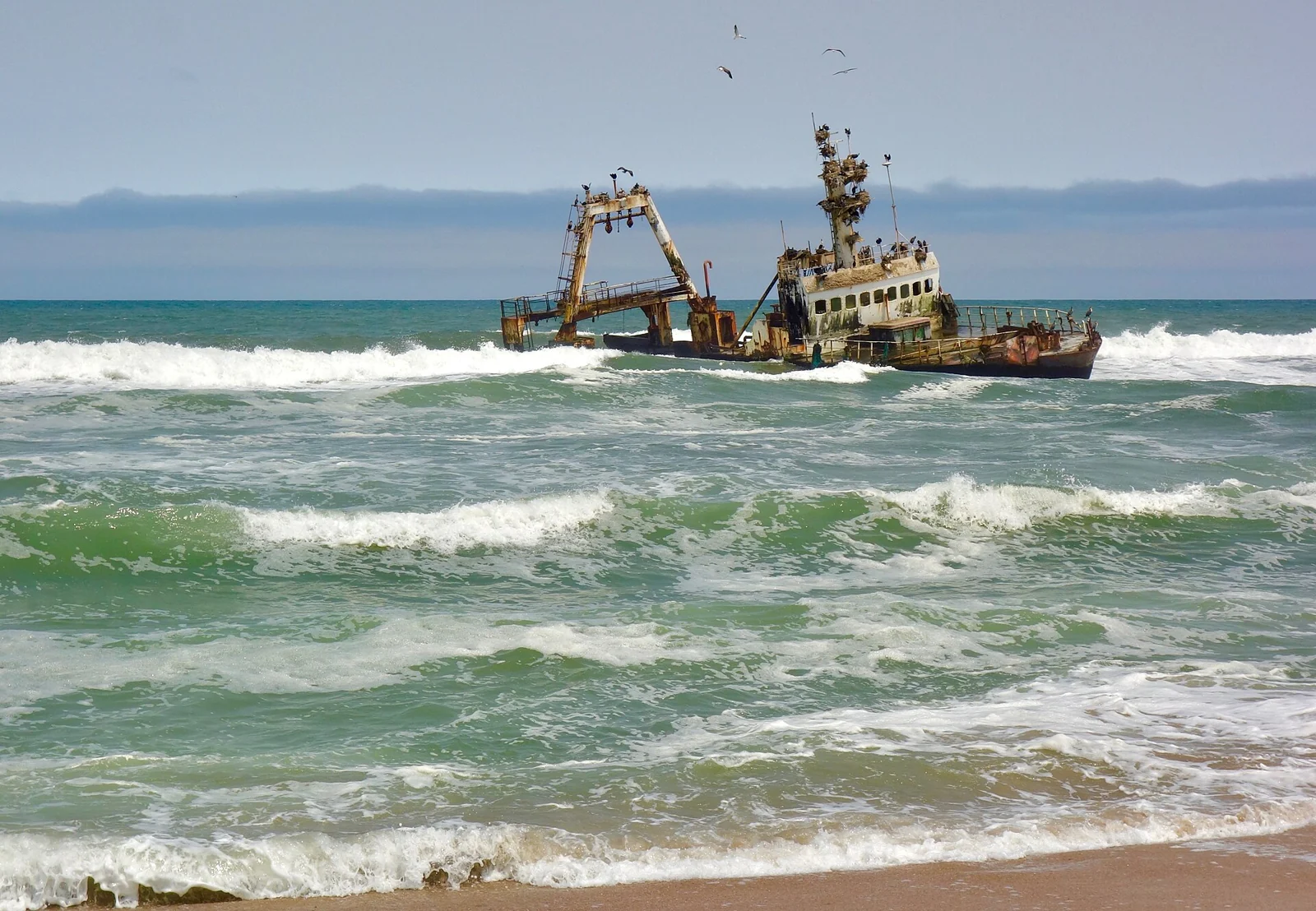
The sea changes the picture
Waves and corrosion transform coastal wrecks. A historical photo does not necessarily describe what you will see today: the silhouette, the apparent distance from the shore and the visible parts may be different. This variability belongs to the place.
Source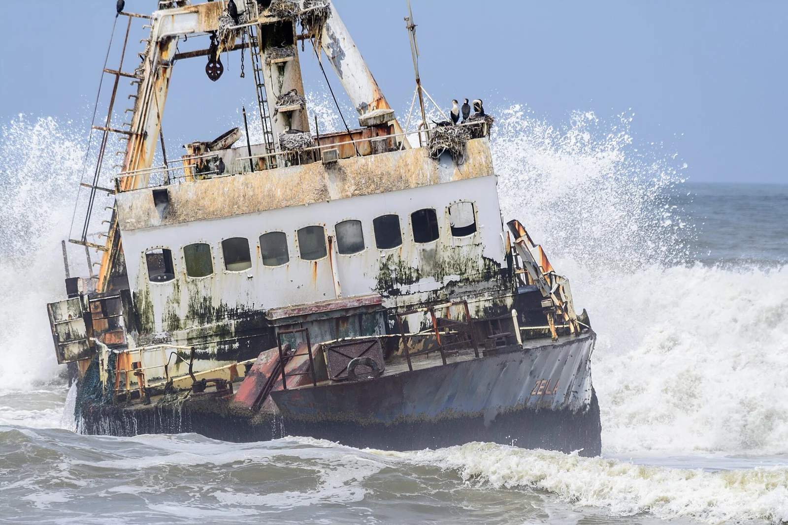
A stopover, not access to the hull
The map marks the coastal access area near the wreck, not a safe route to the ship. Stay on land, keep clear of the surf and watch the birds without disturbing them. Give the scene room to speak for itself.
SourceHistoric photographs: the landscape and condition of the wreck may change.
Plan your visit.
A rewarding visit starts with the practical details.
- When to go
- This stop can fit into a trip in any season. Fog, wind and sea conditions affect visibility: a grey day can be atmospheric, but the wreck may not be clearly visible.
- How long to allow
- Allow for a short, flexible stop rather than a full day. How long you stay depends on access, weather and your interest in photography.
- How to get there
- Look along the coast south of Henties Bay, on the road from Swakopmund. Use designated access points only; tracks left in the sand by other vehicles are not permission to follow.
- How to photograph it
- A telephoto lens lets you capture details from the shore. Include the waves, beach and sky to convey the scale, and protect your equipment from sand and sea spray.
- What to bring
- Windproof jacket and closed shoes. The coast can be cold even when the interior is warm.
- Nearby places to explore
- Combine it with Swakopmund, Henties Bay and, if it fits your route, Cape Cross. You can continue towards Damaraland, allowing for the actual driving distances.
Where to stay.
You do not need to stay beside the wreck to visit Zeila. These three Swakopmund properties work well for a coastal stop; Henties Bay may suit a different itinerary.
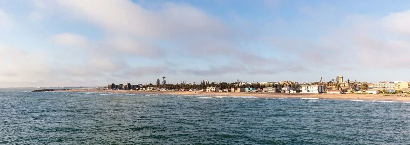 COMFORT
Swakopmund · Photo of the area, not the property. Photographed in 2018.
01 / COMFORT
Swakopmund Guesthouse
Swakopmund · town
A family-run guesthouse offering rooms on a bed-and-breakfast basis. A base for enjoying the town at a relaxed pace.
For travellers who enjoy a small, independent place to stay in town.
- Breakfast
- Wi-Fi
- Air conditioning
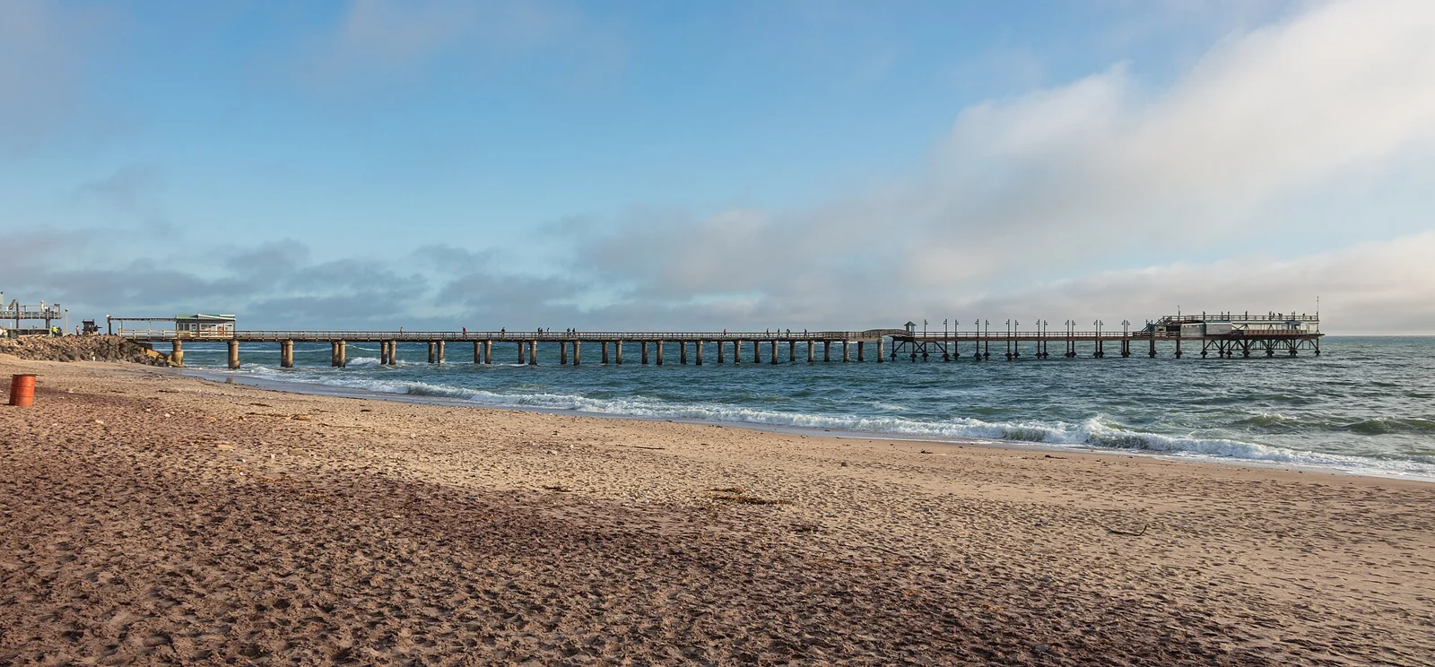 PREMIUM
Swakopmund · Photo of the area, not the property. Photographed in 2018.
02 / PREMIUM / LUXURY
Strand Hotel Swakopmund
Swakopmund · coast
An O&L hotel with several room and suite categories. Sea views depend on the category booked, so check the details of your reservation.
For travellers who enjoy hotel comforts between coastal excursions.
- Rooms and suites
- Seafront
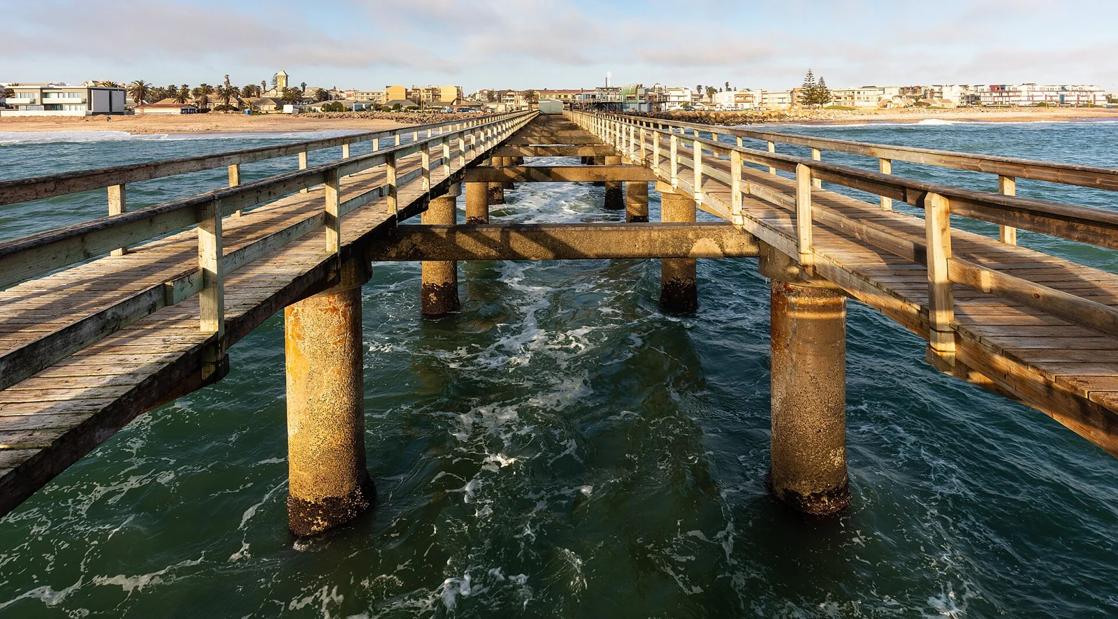 CAMPING
Swakopmund · Photo of the area, not the property. Photographed in 2018.
03 / CAMPING
Alte Brücke Camp & Caravan
Swakopmund
Pitches with private bathrooms, electricity points and braai areas, according to the operator. An equipped campsite for a coastal stop.
For travellers bringing their own camping equipment and looking for a comfortable coastal base.
- Private bathroom
- Braai
- Electricity
Comfort, Premium/Luxury and Camping are editorial categories for this selection, not official ratings. These properties are examples: availability, category, facilities, inclusions and any commercial relationship with Redland must be confirmed. No booking is made here.
Let’s choose where to stay together.
Facts and sources: explore further
In numbers.
Facts and context, with links to the sources. These describe the place; they are not weather forecasts or navigation instructions.
- Stranding
- August 2008
The sources agree on the month and year; the exact day remains inconsistent.
↗ - Coastal location
- ≈ 14 km south
Distance measured south from Henties Bay, not from Swakopmund.
↗ - Type of vessel
- Fishing vessel
A modern fishing vessel being towed for scrapping, not a ship from the colonial era.
↗ - Observation point
- From the shore
The map reference marks coastal access, not the wreck's precise current position.
↗
Sources and information verified on 6 November 2026. Access, services and conditions are reconfirmed before departure.
NOW MAKE IT YOUR JOURNEY
Do you prefer a bright coast or the rough character of a foggy morning?
A place that sparks your curiosity is a good starting point. Let’s decide how to experience it together.
